Observe with your pupils in real time the traffic activities in and around Schleswig-Holstein, on the Kiel Canal and the Baltic Sea coast.
| Ships and aircraft transmit in regular intervals data about the type of vehicle, their destination, and their current position. For ships in the area of the German North Sea, Baltic Sea, the Kiel Canal, and the port of Hamburg the data are received and displayed with GoogleEarth, updated every minute. Aircraft within 400 km distance of Schleswig-Holstein are displayed. |
|
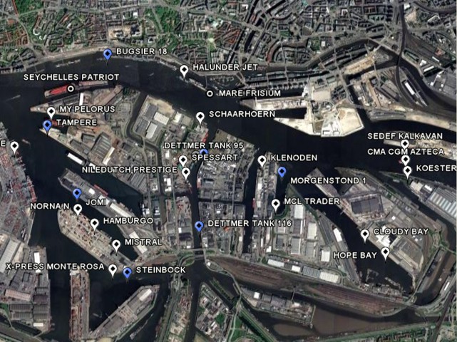
Example: ships in the port of Hamburg |
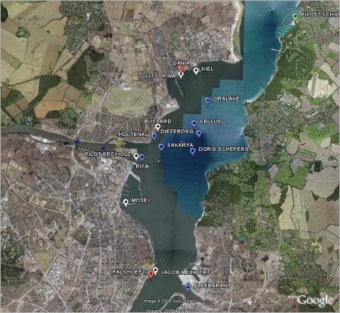
View of the current positions and movements of ships in the vicinity of Kiel.
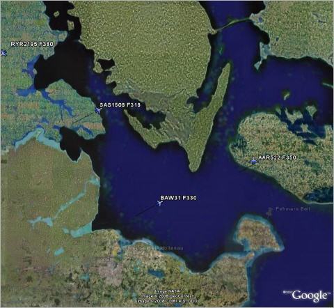
Position marks for ships and aircraft currently in the vicinity of Kiel.
|
|
Ships in Hamburg habour |
|
Ships in the Kiel fjord |
|
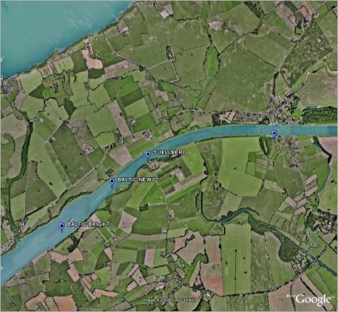
Ships in Brunsbüttel |
|
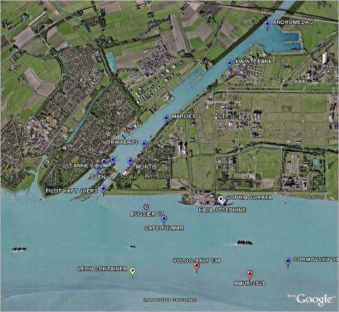
Ships in the Kiel Canal |
|
Aircraft over the Baltic Sea |